Engineering grade reality capture and digital twins for critical infrastructure.
Vertisend supports telecom, infrastructure, and multi-site portfolios with nationwide drone and LiDAR capture, 3D models, and validation workflows built for real engineering environments.

Built For Teams Responsible For Complex Assets

Telecom and Wireless
Carriers, tower owners, OEMs and wireless engineering firms transitioning from manual 2D workflows into scalable 3D and digital twin environments.

Infrastructure and Utilities
Organizations responsible for vertical and critical assets that need repeatable visibility without excessive site visits, unsafe climbs or manual surveys.

AEC and Multi-Site Enterprises
Construction, engineering and portfolio teams managing large numbers of physical locations that require accurate as-builts, modeling and remote visibility.
We currently operate across the United States, with international expansion planned. Organizations outside the US are encouraged to reach out.
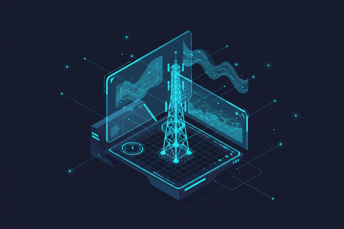
Revolutionizing Infrastructure Insight
Cutting-Edge Reality Capture & Digital Twins
Vertisend delivers high-precision reality capture and digital twin services, transforming physical sites into detailed, interactive models. Our solutions enable engineering teams to assess, plan and manage infrastructure with unmatched technical clarity and operational efficiency.
What Vertisend Delivers
From reality capture to decision-ready data. No isolated services. One connected pipeline.

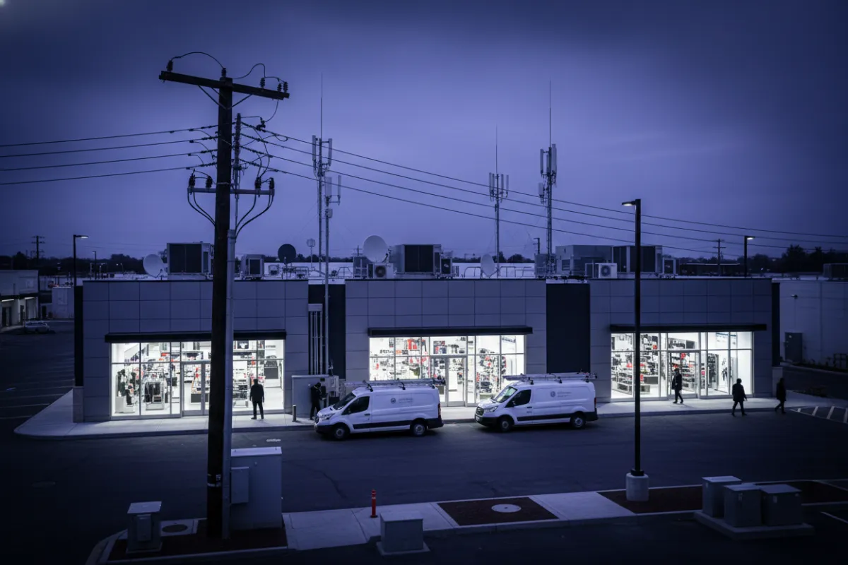
Reality Capture & Field Services
Nationwide drone and LiDAR capture for towers and complex infrastructure. Interior and exterior photogrammetry for buildings and facilities. Built to reduce unsafe site access and eliminate manual measurement errors.

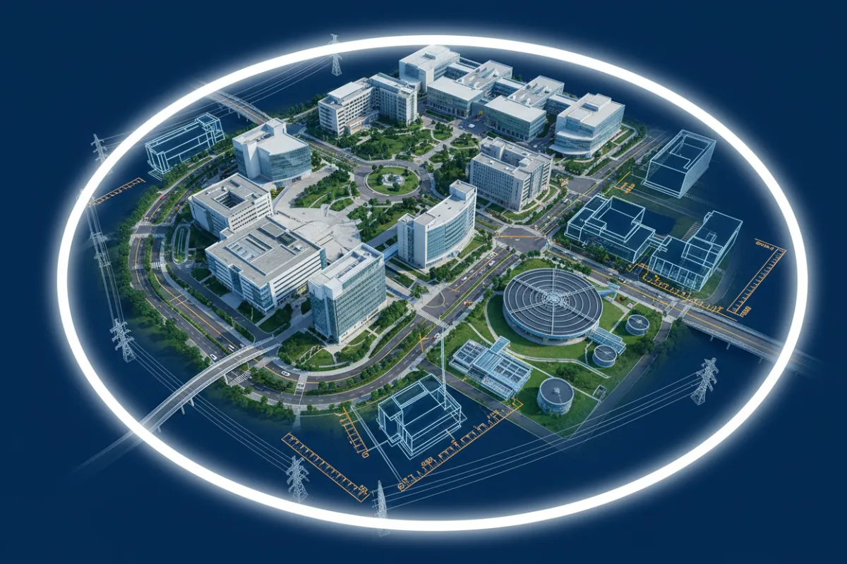
Digital Twins and 3D Deliverables
Engineering grade 3D models and point clouds hosted in cloud digital twin environments. Designed for remote measurement, documentation, and true collaboration across teams.
Engineering Validation and Analytics
Plumb, tilt and azimuth validation. Asset inventory. Pre and post construction audits. BIM and Revit ready outputs that plug directly into engineering workflows.
Vertisend supports both direct client engagements and behind the scenes delivery for engineering partners and project teams, kept deliberately low profile.
Our Methodology: Precision and Expertise
A simple engagement process designed for large portfolios.
Step 1: Scope and Assets
Define portfolio, asset types and required outputs.”
Step 2: Capture and Modeling
Vertisend executes capture operations and produces digital twin deliverables.
Model Validation
Each digital twin undergoes rigorous quality checks to ensure technical accuracy and compliance with industry standards.
Scale and Extend
Roll out across sites and integrate into ongoing validation and analysis workflows.
Where Vertisend is Used

Telecom Tower Audits
Tower capture, compliance validation, alignment checks and asset intelligence.
Multi-Site Retail and Facilities
Standardized documentation for remodel planning, expansion and asset tracking.
Campuses and Institutions
Digital mapping for planning, management, security and maintenance.

Specialty Infrastructure
Support for RF mapping, pump stations, solar sites and complex environments.
The Vertisend Advantage
Unmatched Accuracy
Our digital twins are validated to sub-centimeter tolerances, supporting critical engineering and compliance requirements.
Industry Expertise
Vertisend’s team brings decades of telecom and infrastructure experience, ensuring every project meets technical and operational standards.
Secure Data Handling
All client data is managed with strict security protocols, including encrypted delivery and access controls for peace of mind.
Frequently Asked Questions
What types of infrastructure can Vertisend capture?
Vertisend specializes in telecom towers, rooftop sites and critical facility infrastructure, delivering high-fidelity digital twins for each.
How accurate are your digital twins?
Our models are validated to sub-centimeter tolerances, supporting engineering, compliance and operational needs.
How is client data delivered and secured?
All deliverables are provided via encrypted, client-specific portals with strict access controls and audit trails.
Can Vertisend integrate with our existing asset management systems?
Yes, our data formats are compatible with leading asset management and engineering platforms.
Ready to Transform Your Infrastructure?
Contact Vertisend to discuss your project requirements and discover how our reality capture and digital twin solutions can enhance your operational capabilities.
© 2025 Vertisend. All rights reserved.